
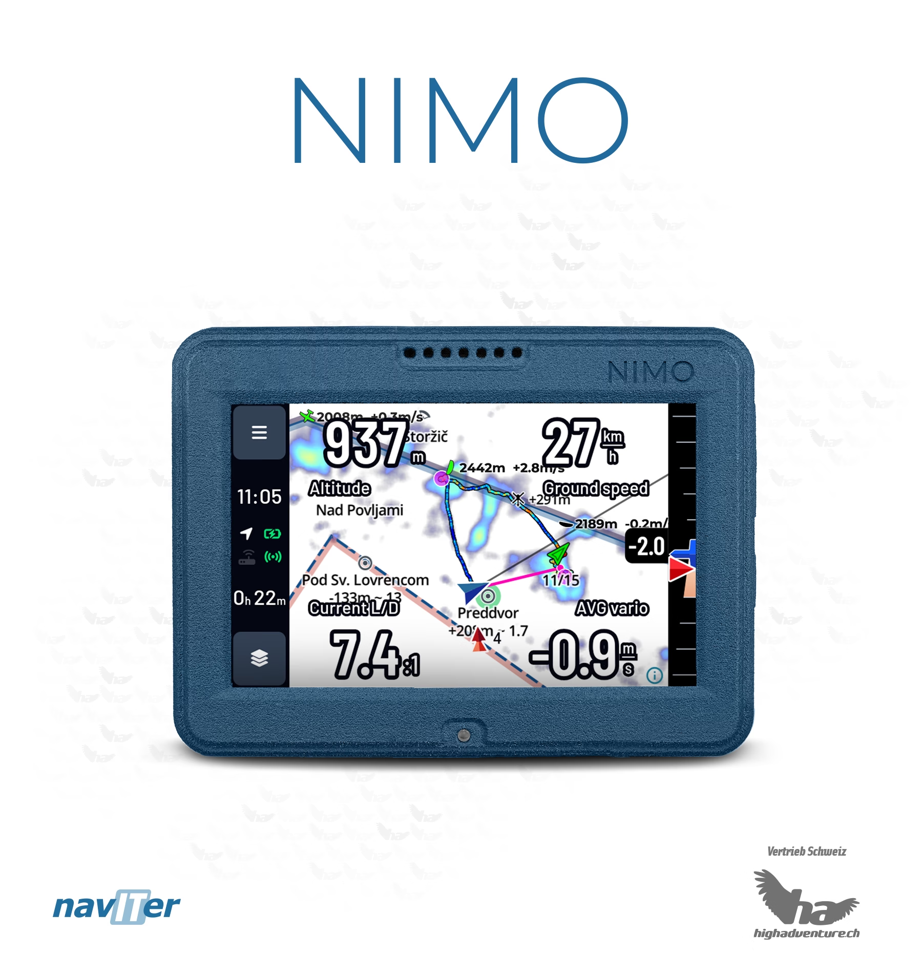
Naviter Nimo
Simple vario-GPS for beginners and recreational pilots — without visibility radio
Reference : NAV-NIMO
- Shipped from Switzerland
- TWINT, card or QR-bill
- Local support
Naviter vario-GPS for beginners and recreational pilots: 3.5" sunlight-readable color screen, precise vario, DABS airspace alerts, 4G/LTE and SeeYou Navigator, 222 g. Version without radio: no FANET, no FLARM, no ADS-L.
Connectivity & visibility
ADS-L
FANET
FLARM
ADS-B & Mode S
Version without radio: no FANET, no FLARM, no ADS-L, and not eligible for the subsidy. To be visible, choose the Nimo Fanet+.
Compatibility verified on 11 October 2026.
What does this table mean?Why this product?
The Nimo is Naviter's entry-level instrument: a precise and responsive vario, a 3.5" color screen readable in full sunlight, airspace alerts (Swiss DABS) and obstacle alerts, live wind and weather thanks to Wi-Fi, Bluetooth and 4G/LTE (SIM card included), and simplified flight upload. It is built on the same hardware platform as the Omni (222 g, 6000 mAh battery) with a deliberately streamlined interface. Important: this base version has no electronic visibility radio at all — neither FANET, nor FLARM, nor ADS-L — and therefore does not meet the upcoming Swiss ADS-L requirement; it is also not eligible for the federal subsidy. To be visible to other aircraft, choose the Nimo Fanet+, which High Adventure itself recommends as the future-proof version.
Technical specifications
| GPS | Aviation-grade GPS module |
|---|---|
| Wind | Live wind — direction and strength |
| Weight | 222 g |
| Radio | No 868 MHz radio: no FANET, no FLARM, no ADS-L |
| Screen | 3.5" — 800×480, 1000 nits, portrait and landscape, multitouch (pinch & zoom) |
| Content | Nimo with SeeYou Navigator, SIM card, leather carrying case, universal charger, USB cable, self-adhesive mounting pad |
| Altitude | GPS, automatic QNH, QFE, flight level (FL) |
| Battery | 6000 mAh — 11 h+ at full brightness, 12–15 h in power-saving mode, 40 h+ with screen off (recording and vario sound active) |
| Sensors | High-precision pressure sensor (<10 cm), high-precision GPS, GPS + Galileo + GLONASS receiver, gyroscope-assisted vario |
| Memory | 4 GB RAM, 64 GB flash |
| SIM card | Nano-SIM included (from 07.2026) — eSIM not supported |
| Controls | Resistive touchscreen + buttons (on/off, volume +/−) |
| Interface | Simplified for beginner and leisure pilots; Bluetooth source for the SeeYou Navigator app |
| Dimensions | 97 × 71 × 25 mm |
| Readability | Very sharp LCD screen, readable in direct sunlight |
| Ground speed | Yes |
| IGC files | Yes |
| Flight log | Yes |
| Connectivity | USB-C, USB OTG, Wi-Fi, Bluetooth Low Energy (external devices), 4G/LTE, Wi-Fi and Bluetooth tethering |
| Live tracking | Via mobile connection only (4G/LTE or tethering) — no FANET/FLARM radio |
| Updates | Online — airspaces and data updated automatically |
| FAI triangles | Yes |
| Charging time | ≈ 2.5 h empty to full (max. 3 h) |
| Obstacle alert | Yes |
| Airspaces | DABS Switzerland updated daily, special zones included (aerodromes, wildlife protection zones, heliports); custom airspace files possible |
| Online functions | Rain radar, OGN (Open Glider Network) display, KK7 skyways and thermals, live tracking upload to competitions, SeeYou Cloud sync; TopMeteo / SkySight forecasts and satellite imagery (provider subscription required) |
| Open Glider Network | Yes |
| Multilingual interface | Yes |
| Usable with gloves | Yes |
| Thermal assistant | Yes |
| Airspace information | Class, floor and ceiling, horizontal and vertical distances, radio frequency |
| Navigation software | SeeYou Navigator, updates included for life |
| Operating system | Android |
| Buddy visibility | Via mobile connection only (4G/LTE or tethering) — no FANET/FLARM radio |
| Airspace alerts | 3D, with side view |
| Multiple map pages | Yes |
| Upload to online competitions | Yes |
| Airfield database | Yes |
| Map / waypoint settings | Yes |
| Waypoints | Yes |
| Customizable vario sounds | Yes |
| Take-off / landing database | Yes |
| Selecting a buddy on the map | Yes |